Arches National Park
There are over 2,000 natural arches in
Arches National Park. An arch
has to have an opening of at least 3 feet in any direction to count.
There are lots of arches just a short walk from the road.
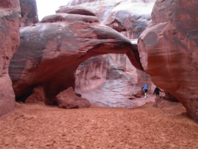
One of our first stops was Sand Dune Arch, about a quarter mile from the parking lot.
The rock walls opposite the arch went straight up.
It rained a lot the first day we got there.
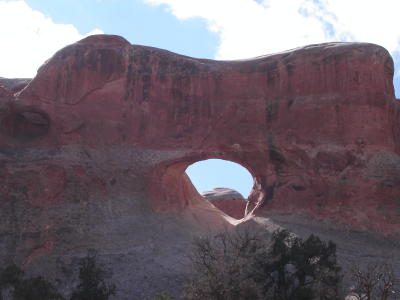
The Skyline Arch is visible from miles away.
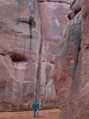
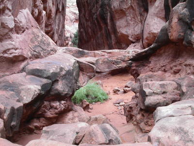
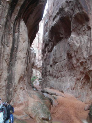
We went on the ranger-guided hike into the Fiery Furnace
area. There are no trails, and the hike involved scrambling over rocks and
squeezing through narrow passages between sheer rock fins.
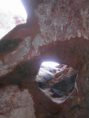
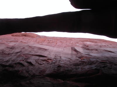
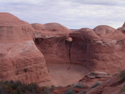
This
is a pothole arch, formed from water collecting in a natural
depression. We are looking straight up at it.
It was easy to get lost in this area, so you have to go with a park
ranger. was easy to get lost in this area, so you have to go with a park
ranger.
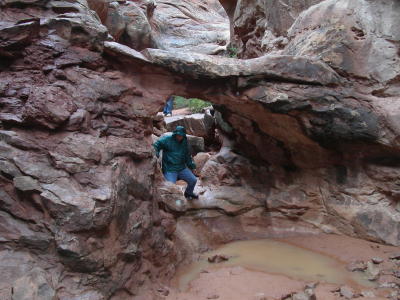
Paul is climbing through a bridge, not an arch. If water runs under it, it's called a natural bridge.
This is Skull Arch. The ranger told us that ravens nested near the top last season.
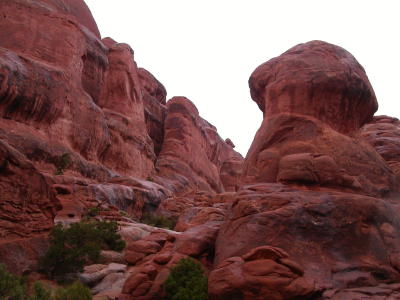
In
some areas the rock wall were only a few feet apart.
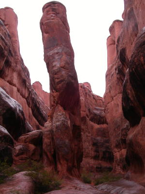
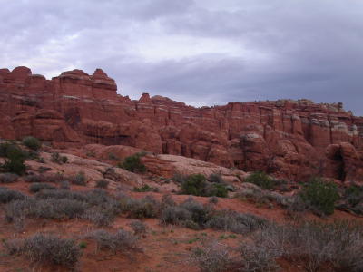
The
rocks in Fiery Furnace have eroded into all sorts of unusual
shapes.
This is called Kissing Turtles Arch.
The
Fiery Furnace area is named for the red color of the rocks.
Even on a cloudy day, the colors were bright.
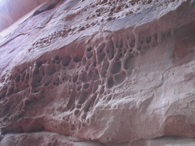
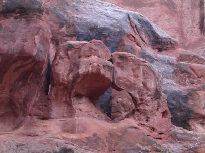
This
honeycomb formation was formed by water gradually dissolving
parts of the soft rock.

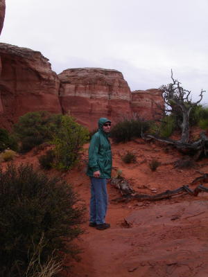
The
hike involved a fair amount of scrambling over rocks.
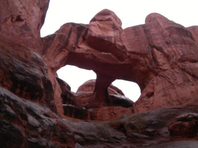
Surprise Arch runs parallel to two sheer rock walls.
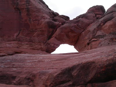
An arch has to have a span of at least three feet, but there's no requirement for the other dimenion. This is an arch -- see the light coming through it?
This is a view of the Fiery Furnace area from the parking lot.
The trail to Delicate Arch had been closed because of flooding for almost a
week when we arrived. It was briefly open on Friday before closing after
more rain. Fortunately it was open again on Monday, so we got to walk right
up to the arch that's on the the Utah license plates.
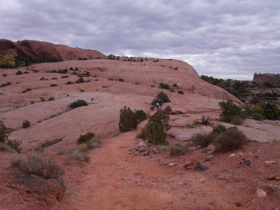
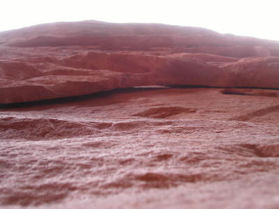
Part of the hike involved following rock cairns up this slickrock dome.
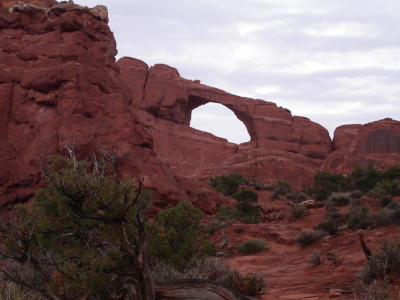
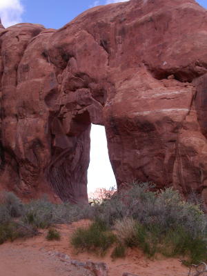
We walked by Frame Arch on our way to Delicate Arch.
This is another pothole arch.
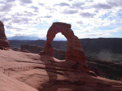
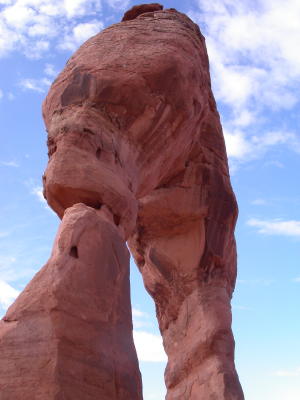
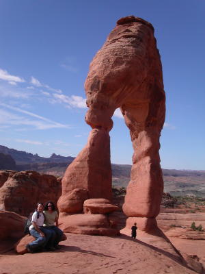
Here's the popular view of Delicate Arch.
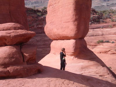
We walked around the bowl and right up underneath the arch.
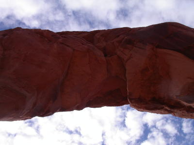
This
is looking straight up at the arch.
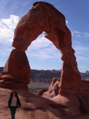
Delicate Arch has a span of 33 feet and is 45 feet tall.
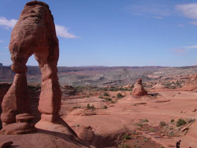
We could see over the slickrock dome to the parking area, but we couldn't see the arch until we got right up next to it.
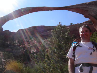
This
is the obligatory self-timer photo.
A group of teenage boys discovered that there's cellphone service -- but only if you stand right under the arch.
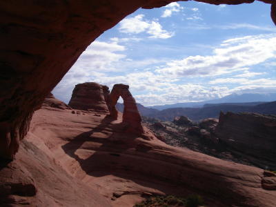
On the way back, we saw some people sitting right under Frame Arch. We had walked right by it on the way there, not realizing that we could see Delicate Arch through it.
Next, we headed to the end of the park road to the Devil's Garden trail to see
a bunch more arches.
Everywhere we went, we heard about the cryptobiotic soil crust. Cyanobacteria,
mosses, lichens, algae, fungi, and bacteria hold soil particles together and
bind nitrogen, so that eventually plants can grow in the soil.
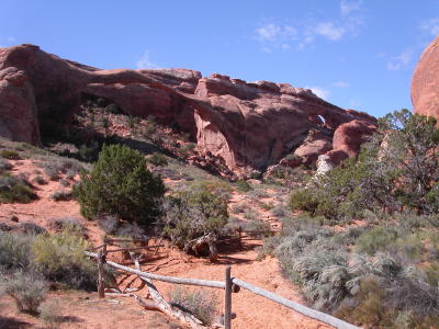
We were walking along for a while before we noticed Landscape Arch was right in front of us.
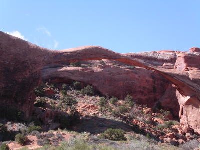
In 1991, a big chunk of rock fell off the right side; the arch is now only 6 feet thick in some places.
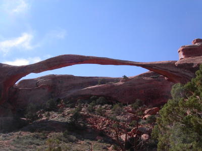
Landscape Arch is over 300 feet long.
This is as close as we could get, since the closed the trail that goes right up under the arch after the 1991 rockfall.
The big arch in the middle is Tunnel Arch.
There's another arch at the far left of the picture.
Pine Tree Arch is unusual because its opening is at ground level.
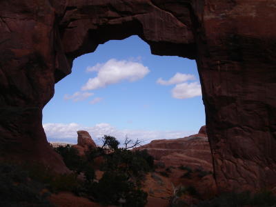
The
view through the arch reminded us of the Guardian of Forever.