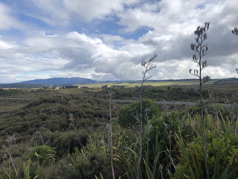
Raeitihi, near Tongariro and Whanganui National Parks
From Rotorua, we drove a few hours southeast to Ohakune and the start of
the Old Coach Road.
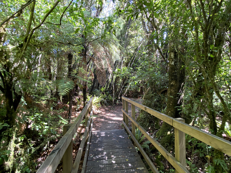
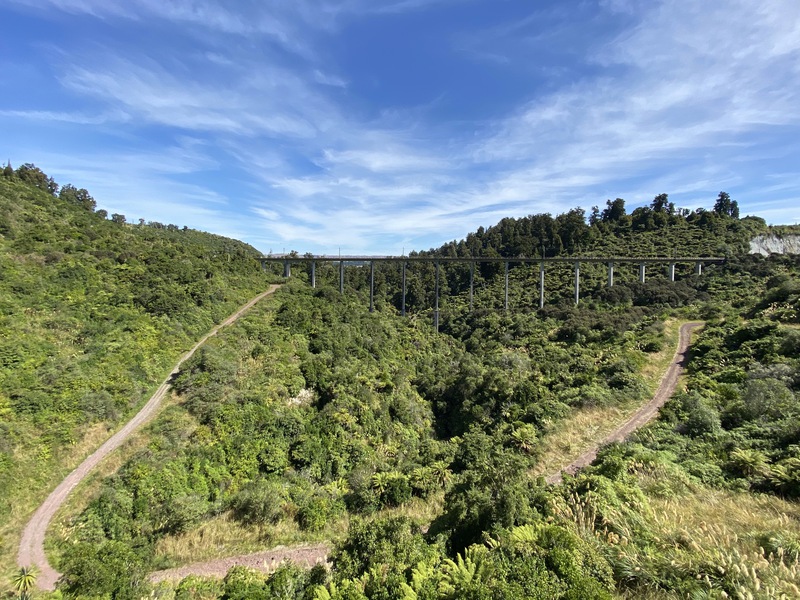
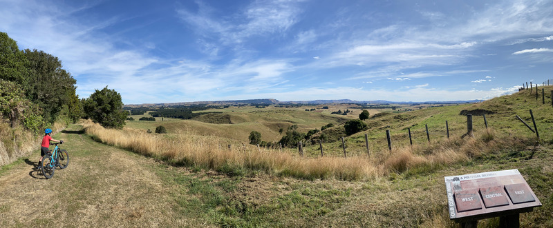
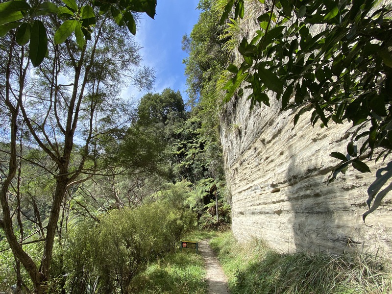
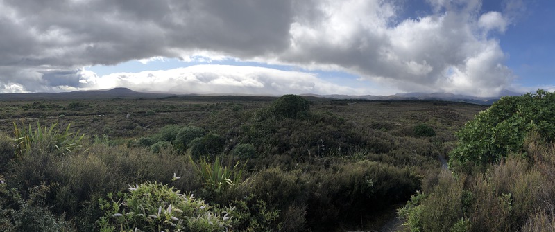
The Old Coach Road is a 15km trail that was used to move passengers and cargo between
the unfinished ends of the railroad, before it was completed in 1908.
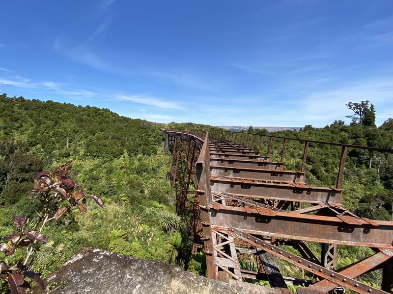
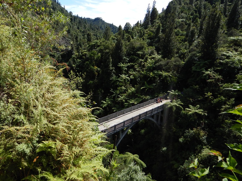
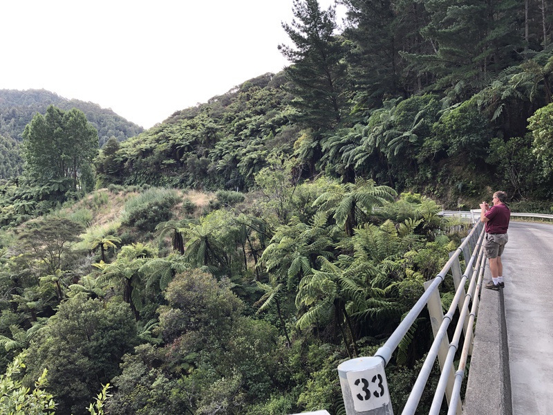
We rode mountain bikes along a bumpy varied trail, through forest, and over a 45m
tall viaduct.
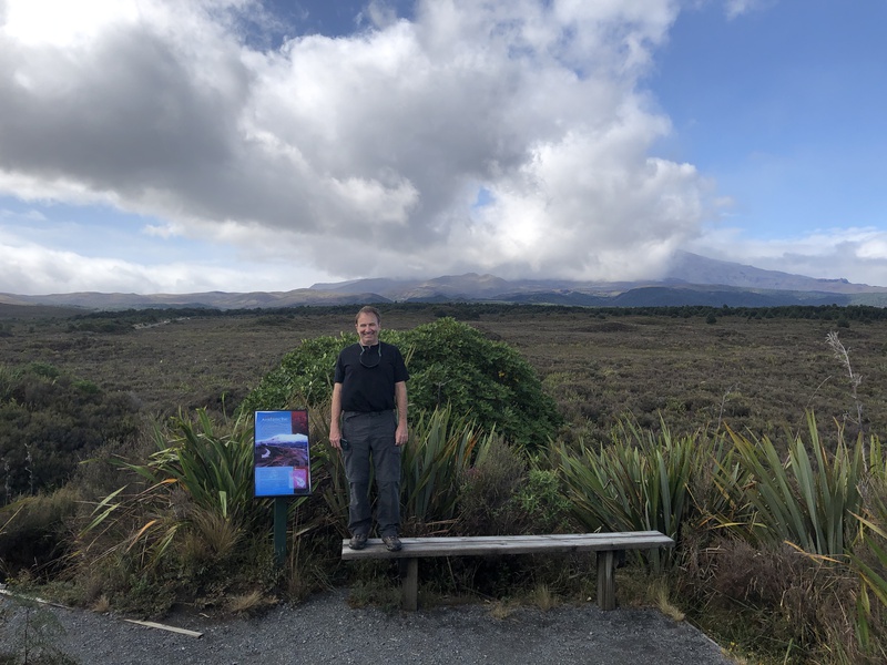
We stayed in a house next to a sheep pasture in the tiny town of Raetihi, with a view of Mt. Ruapehu. For food, our town had a bakery with meat pies in the morning, and a convenience store with fried chicken and fish and chips for dinner.
We stopped for meat pies in Turangi, on our way from Rotorua to Ohakune.
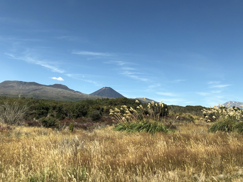
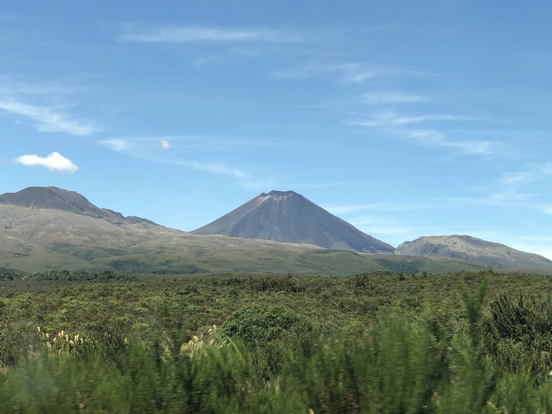
Mt Ngauruhoe (or Mount Doom) from the northwest
We saw lots of sheep along the roads.
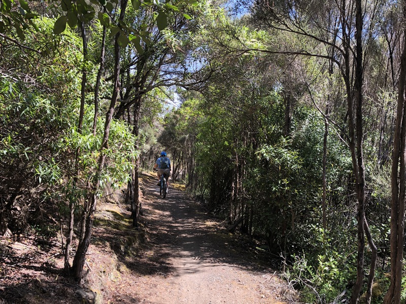
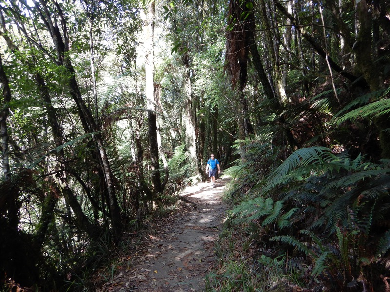
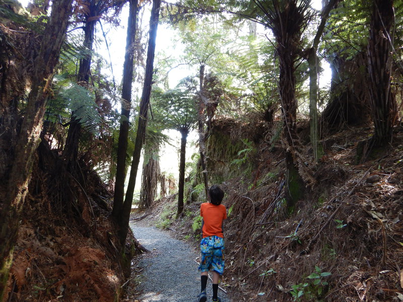
starting our bike ride on the Old Coach Road
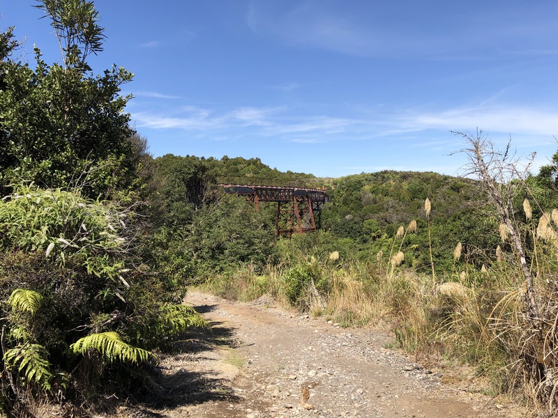
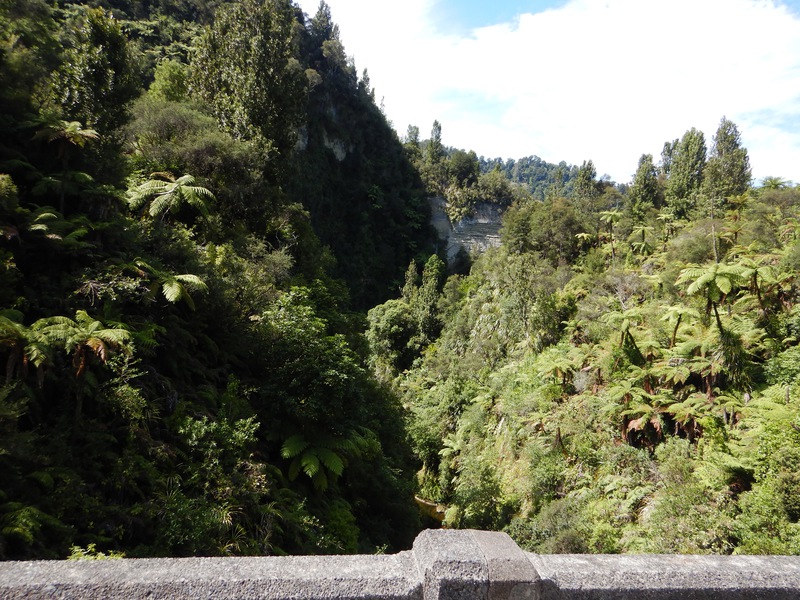
The Taonui Viaduct was marked as "ruined" on our map.
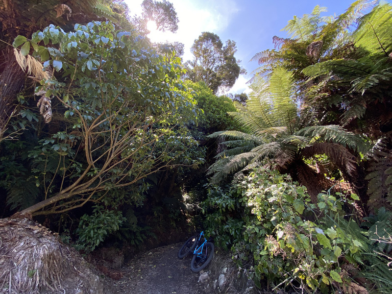
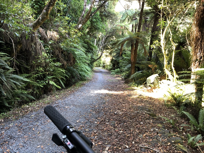
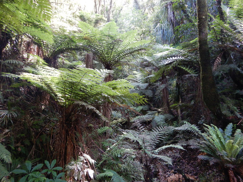
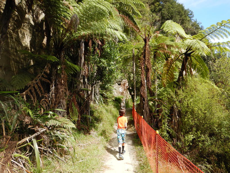
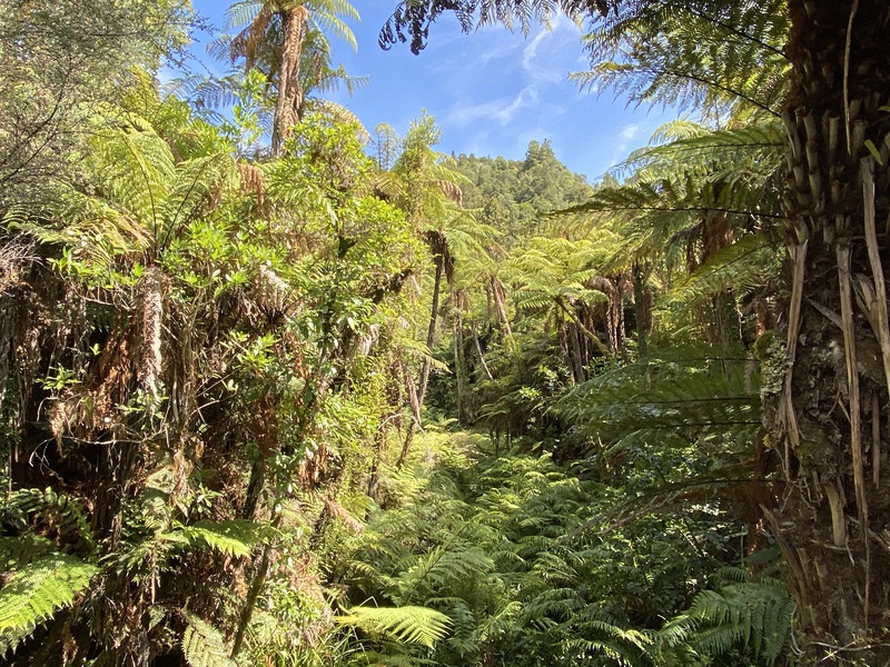
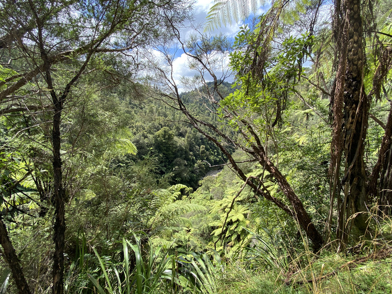
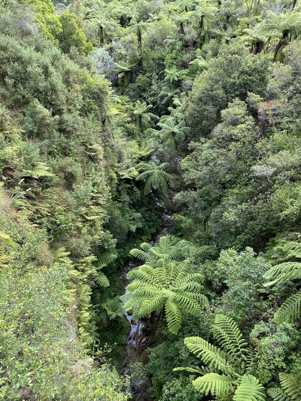
The trail wound through beautiful native bush.
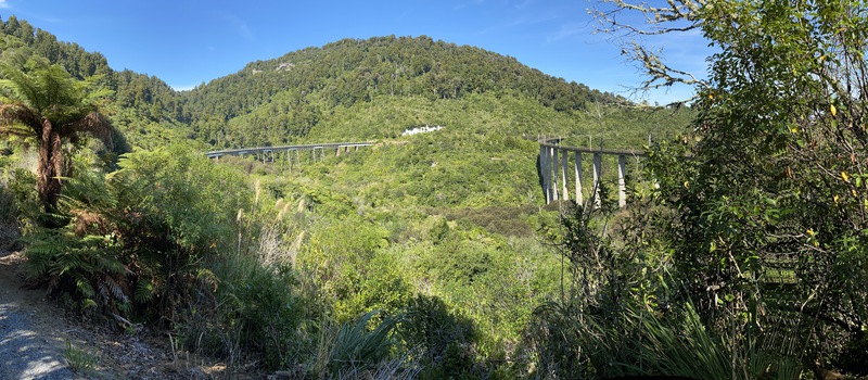
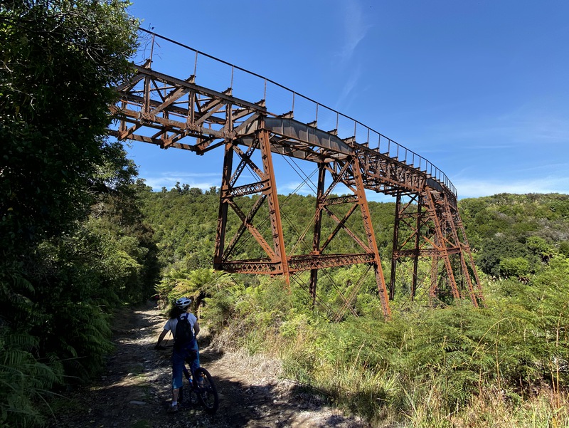
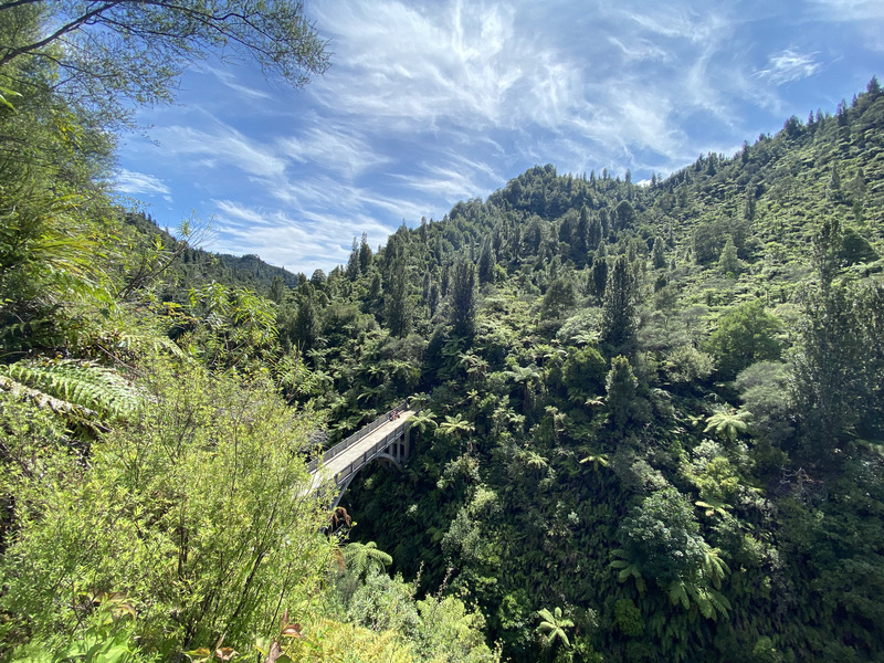
The old (left) and new (right) Hapuawhenua Viaducts.
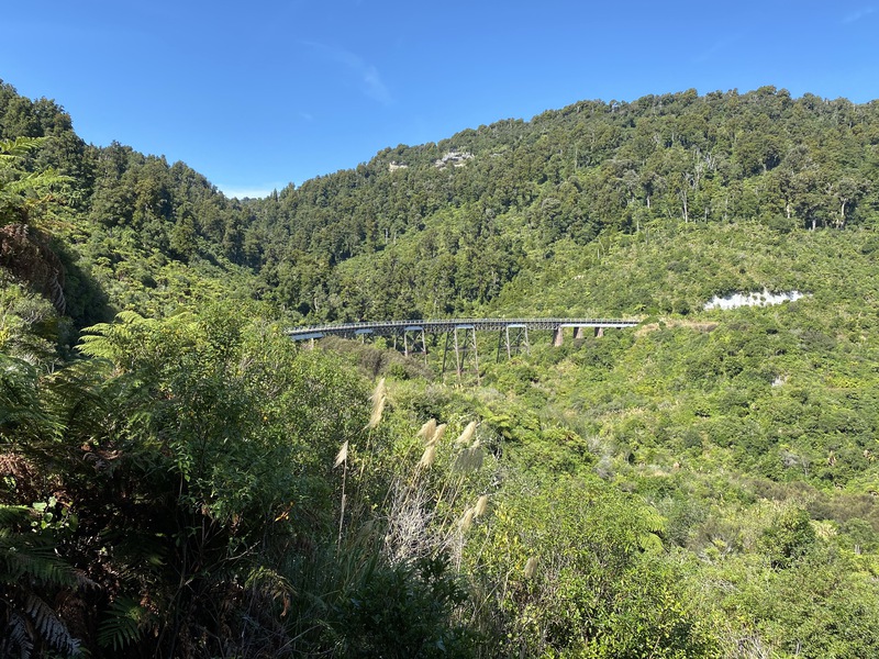
The old Hapuawhenua Viaduct was built in 1908 and is 45m tall.
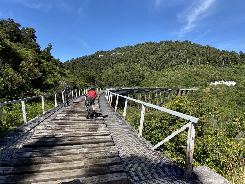
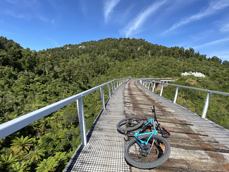
starting across the Hapuawhenua Viaduct
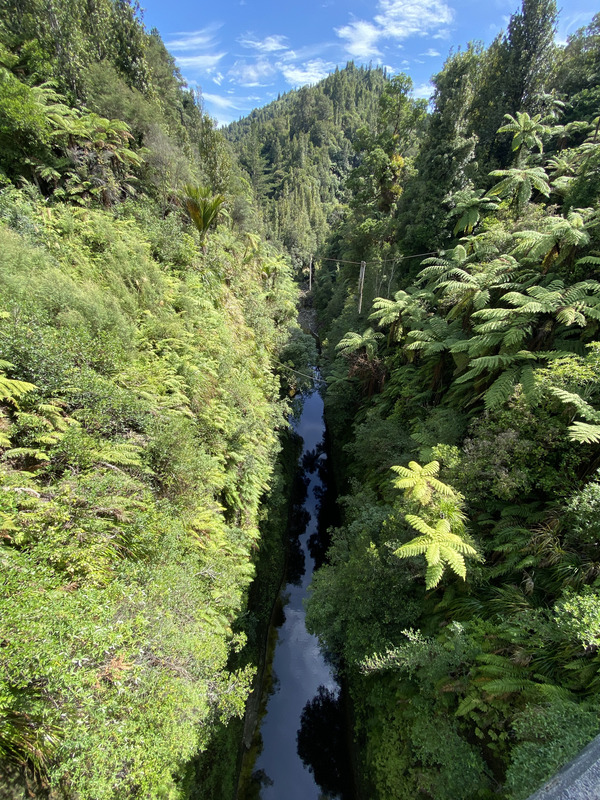
near the middle of the 45m tall viaduct
view the new viaduct, completed in 1987
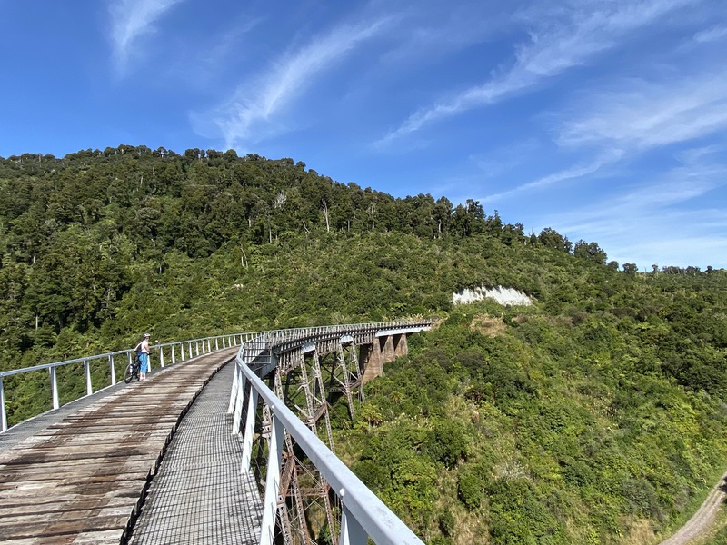
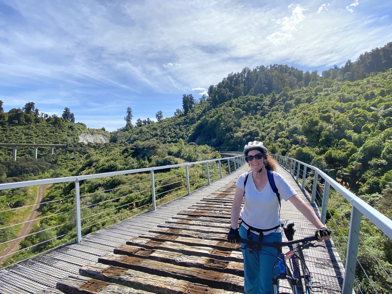
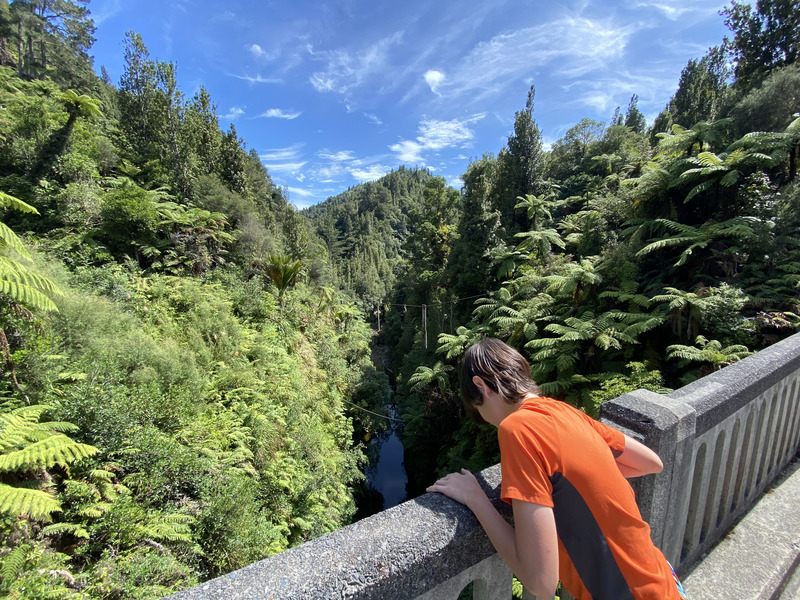
Kimberly walked across -- the cables on the side vanish when moving!
Paul keeping left along the viaduct
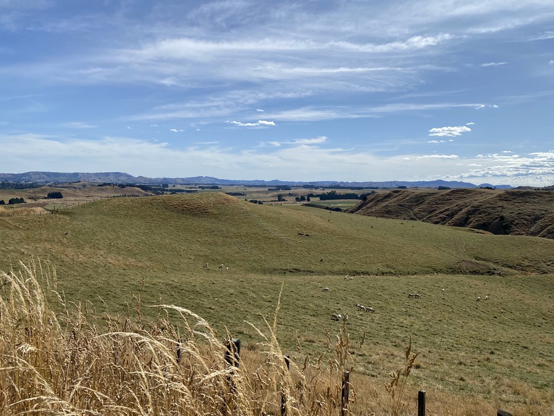
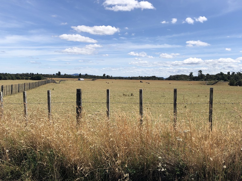
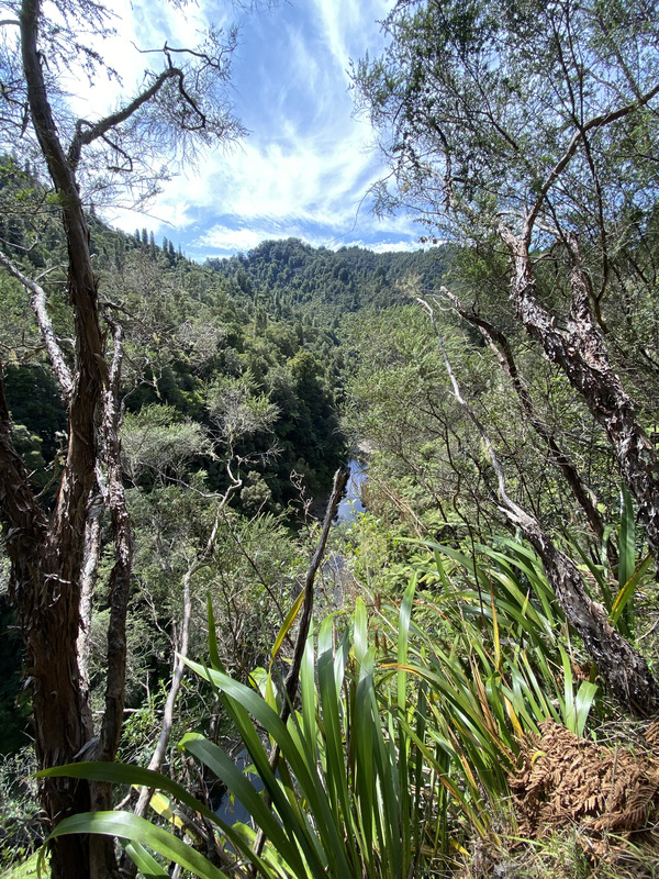
view across farm land near the end of the trail
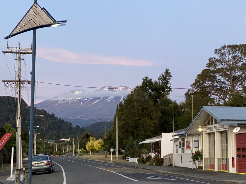
sunset view of Mt. Ruapehu from Ohakune
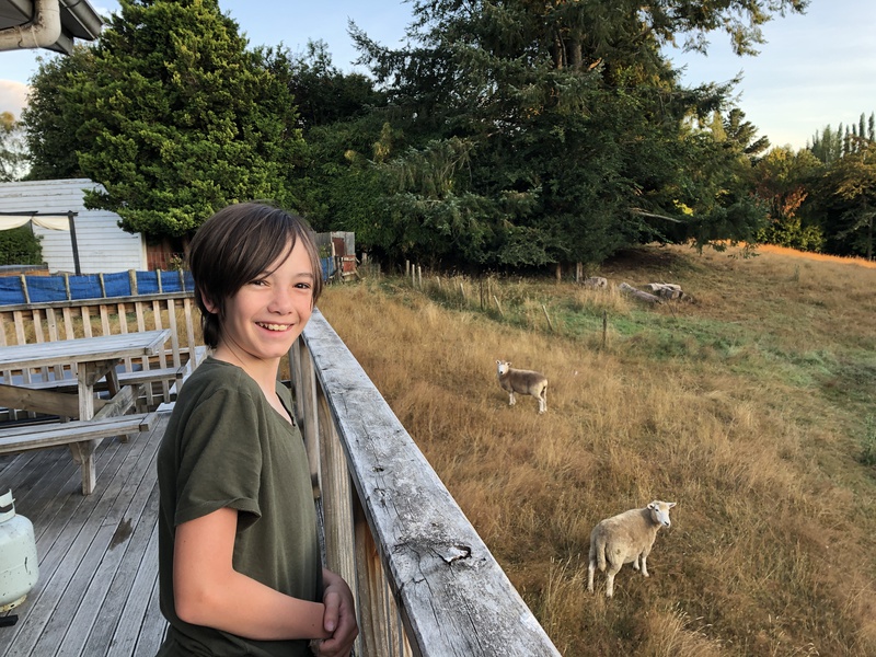
Our rental house had sheep in the backyard.
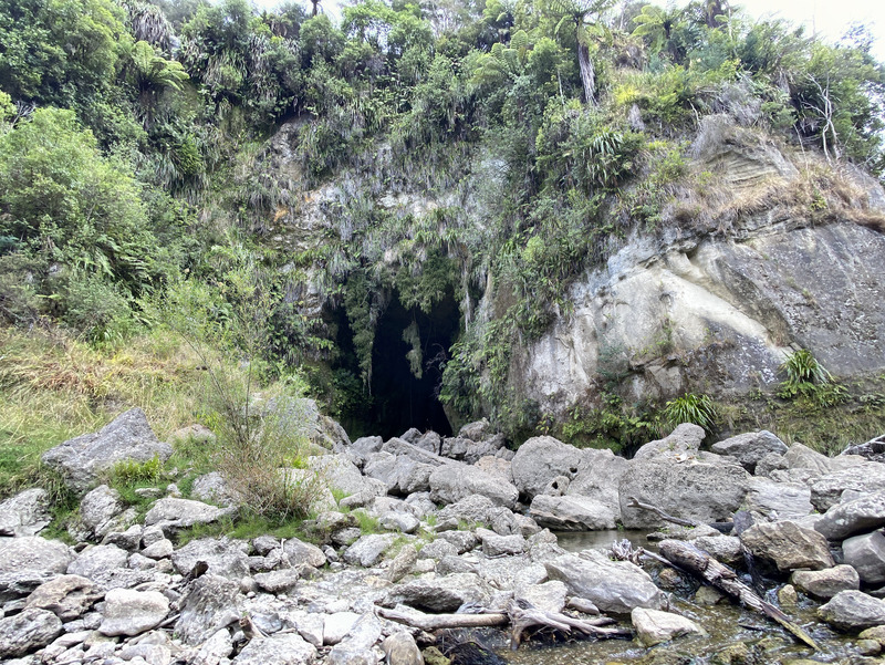
Bridge to Nowhere
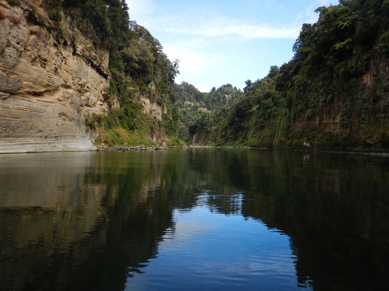
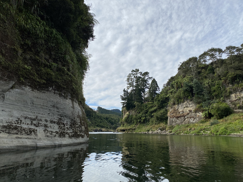
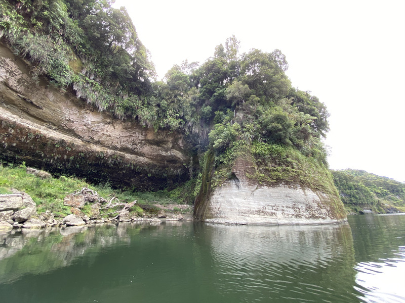
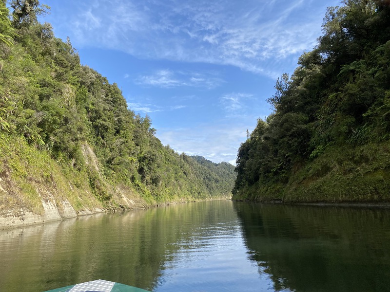
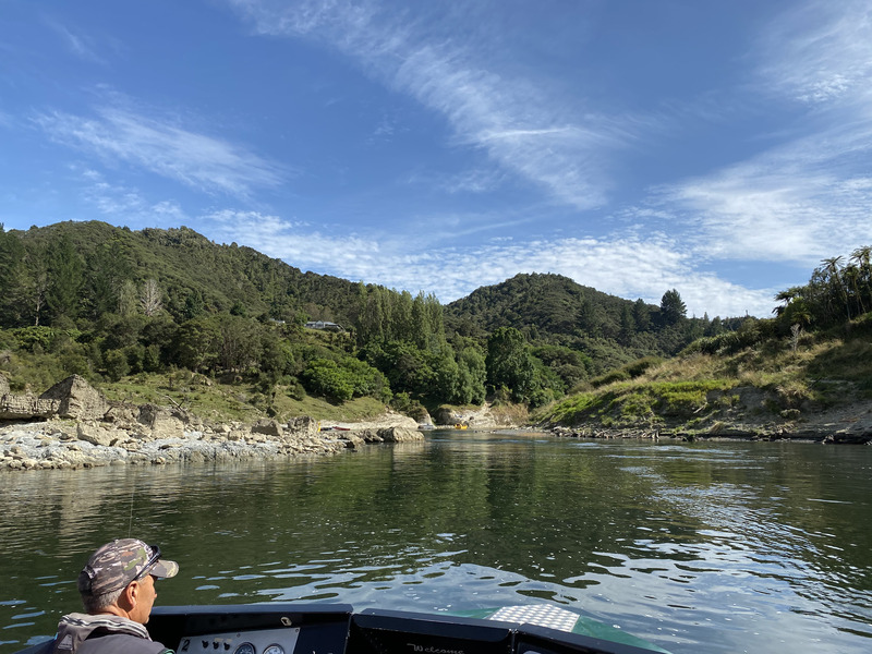
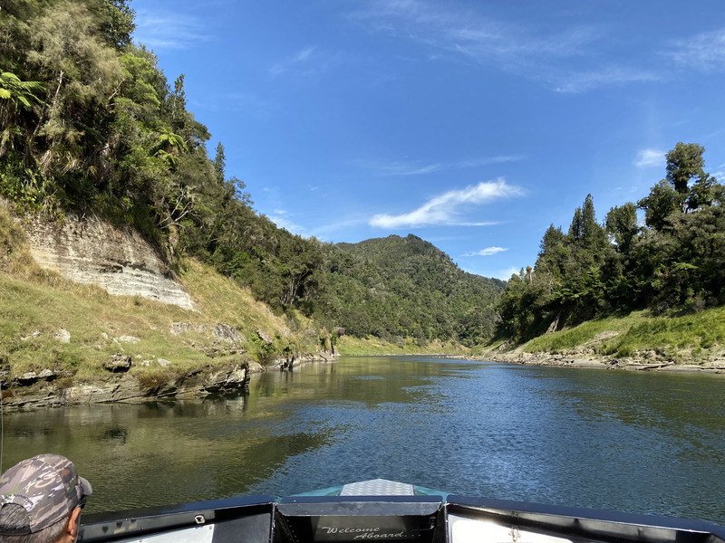
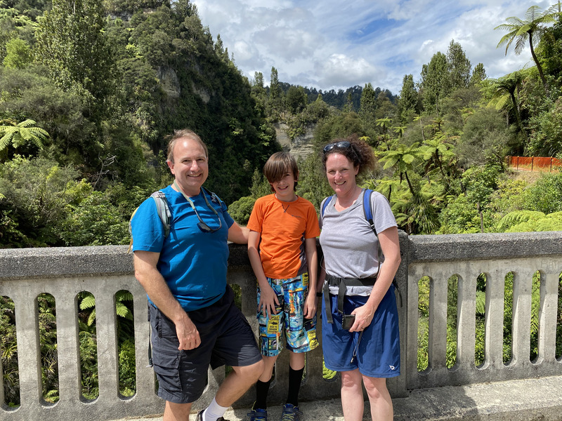
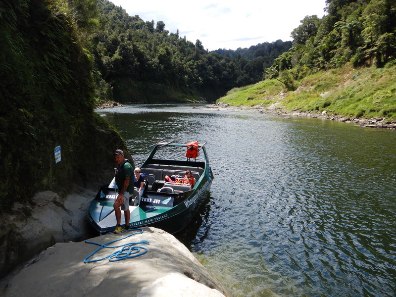
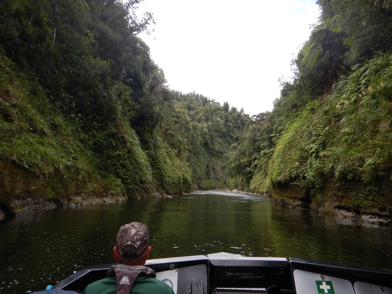
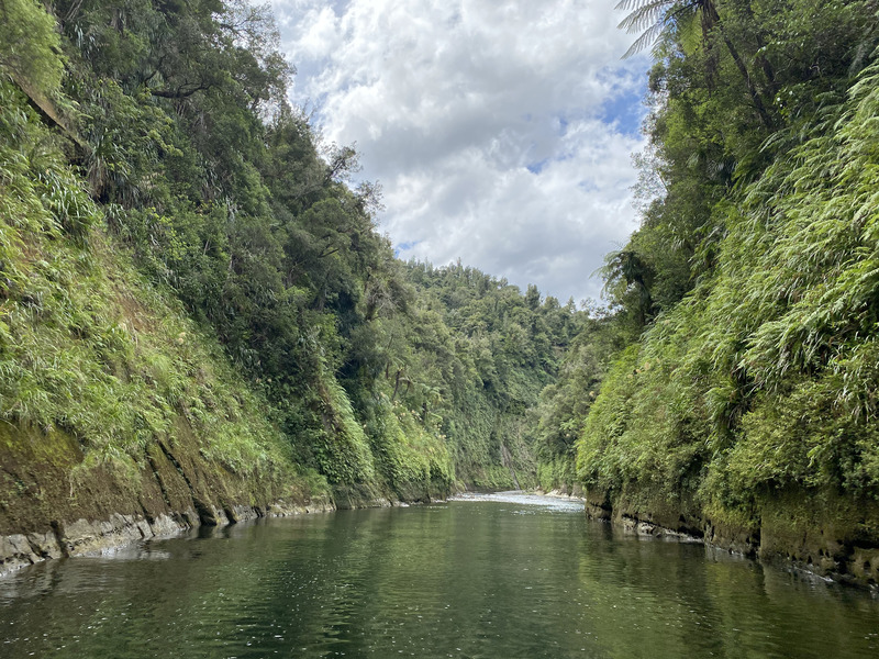
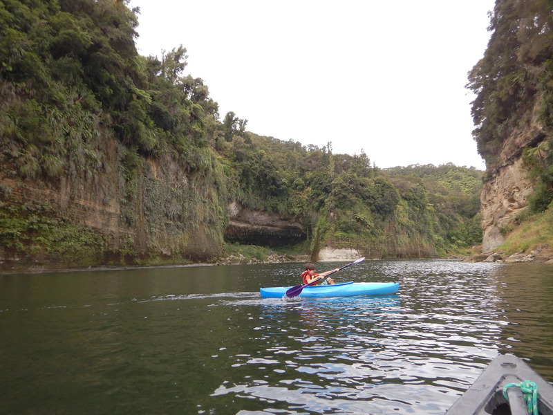
We jet boated upriver through the narrow green canyons of the Whanganui River, then walked through the forest to the Bridge to Nowhere. This 130 foot long, 125 foot tall concrete bridge has no roads on either side. The government stopped maintaining the road in 1942, and it now gets more visitors as a trail than it did as a road. After a few spins on the way back downriver, the jetboat dropped us off at our canoe and kayak 10km north of Pipiriki.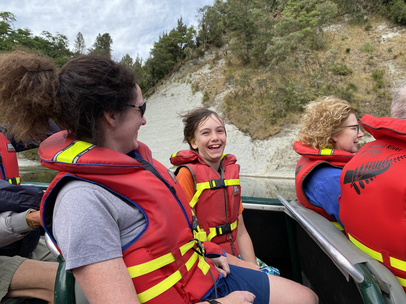
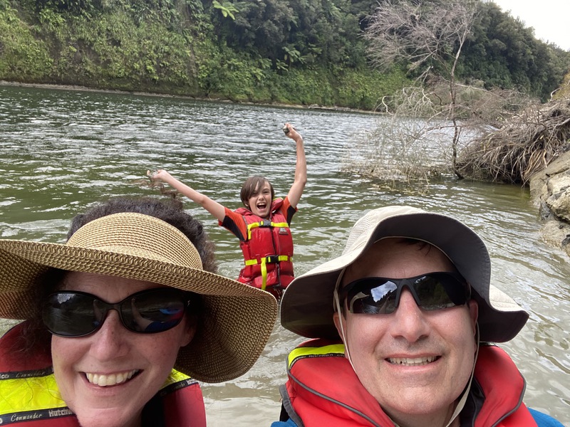
Evan liked the speed of the jetboat.
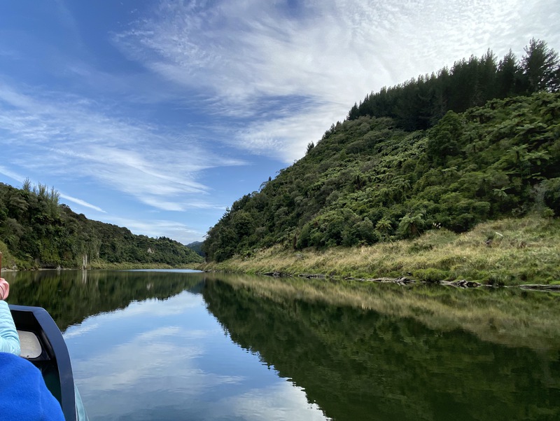
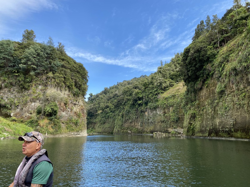
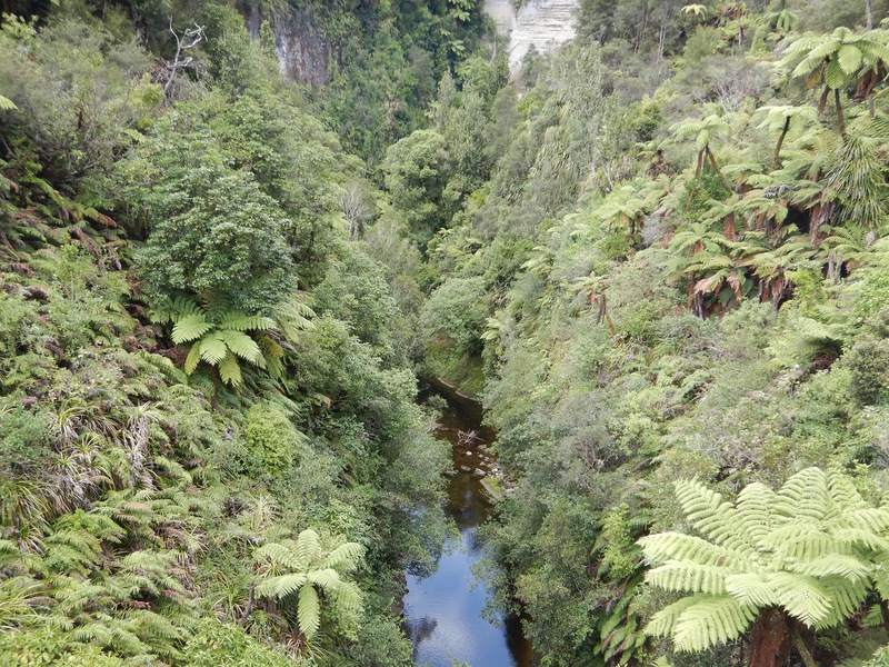
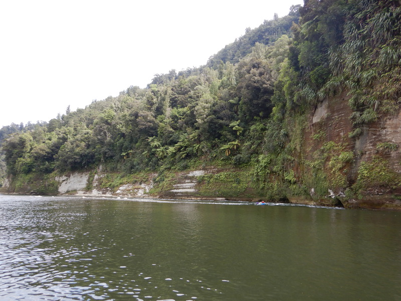
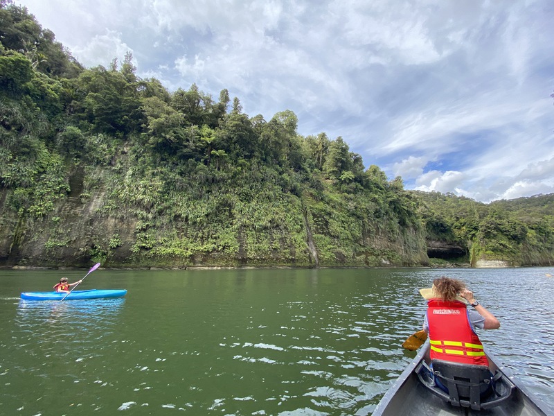
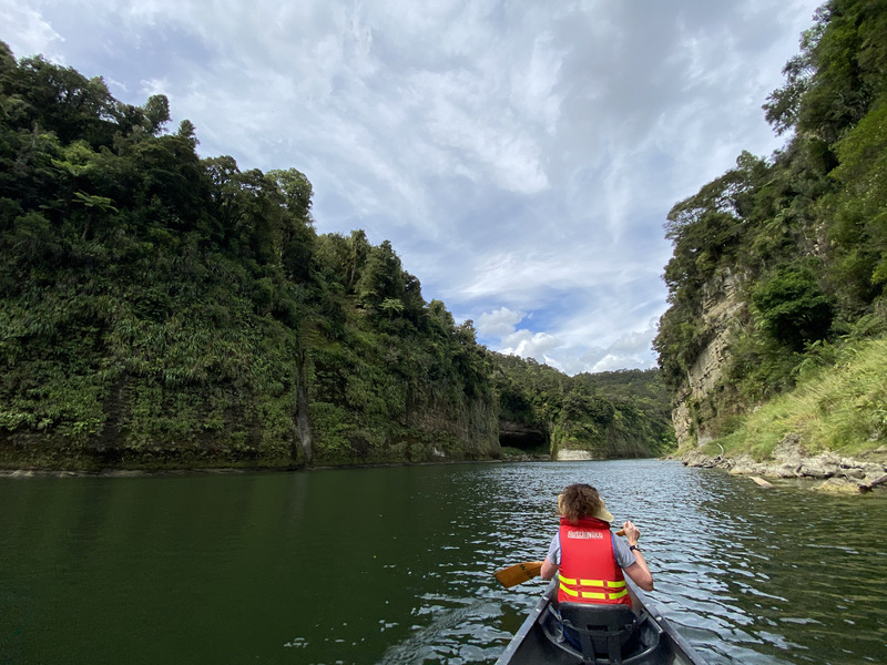
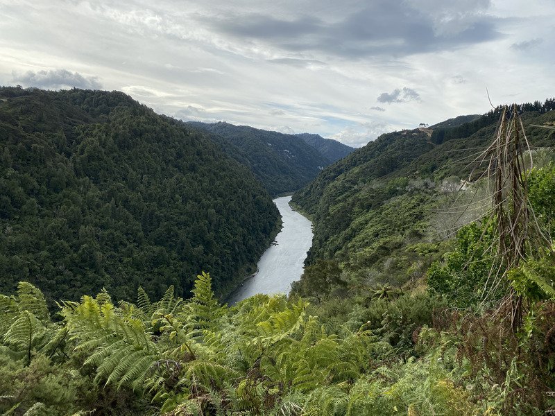
The canyon walls were nearly vertical on both sides.
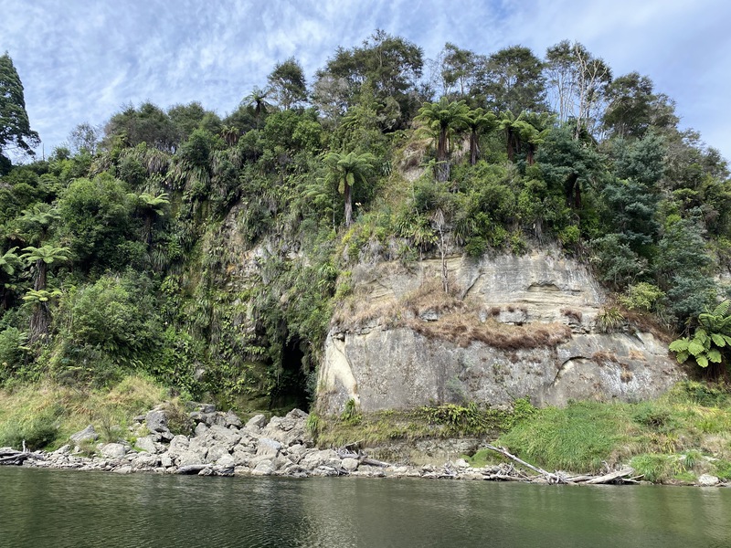
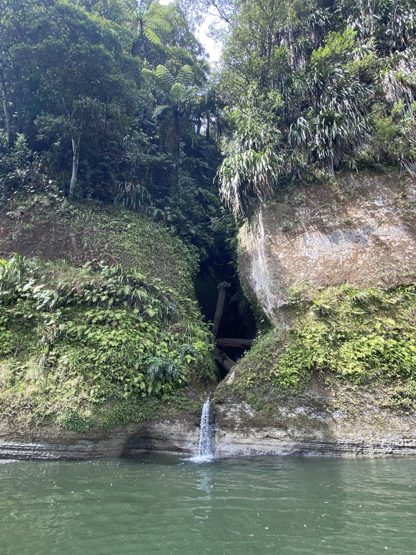
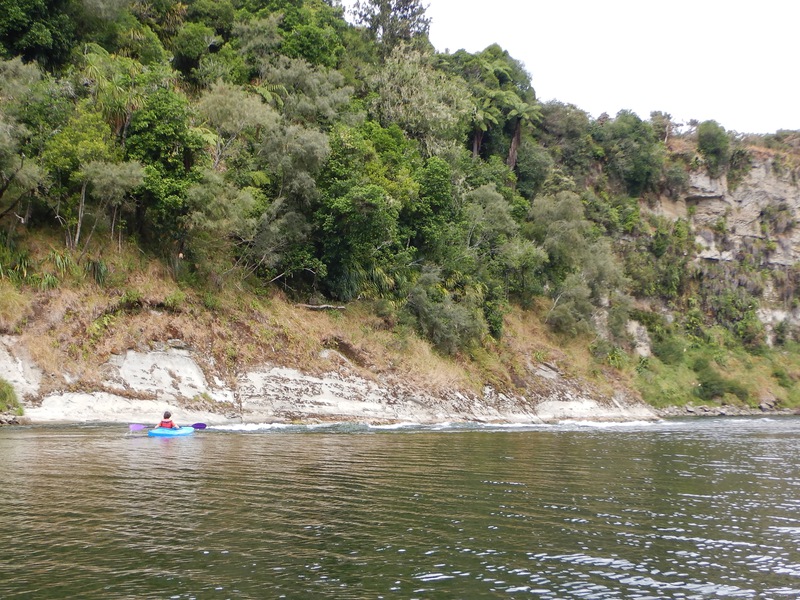
The line of plants marks the flood level in previous years.
The Whanganui River is one of New Zealand's Great Walks. This is the starting point of the last day.
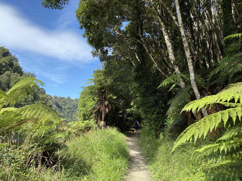
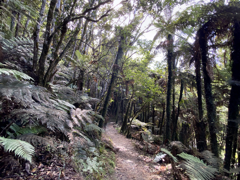
About an hour upriver, we stopped at Mangapurua Landing and walked up into the bush.
Even the plants were covered in other plants.
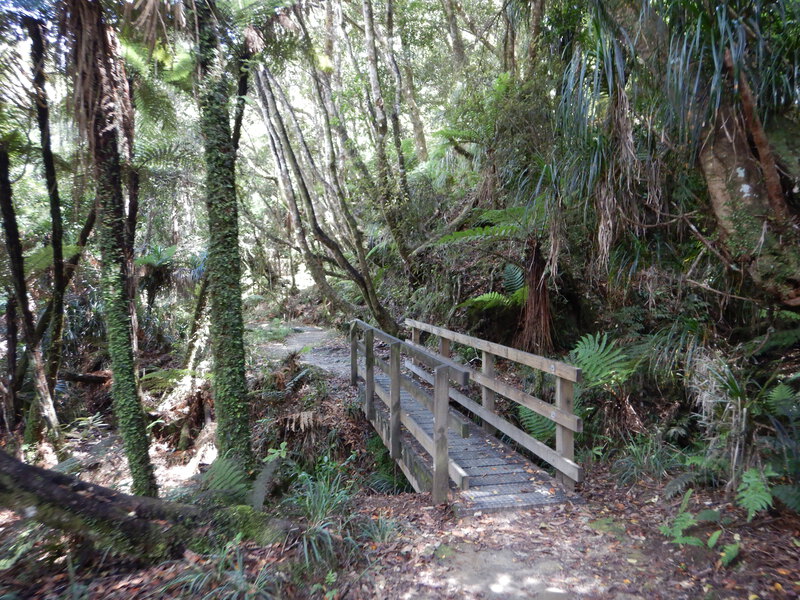
The trail was surrounded by tree ferns.
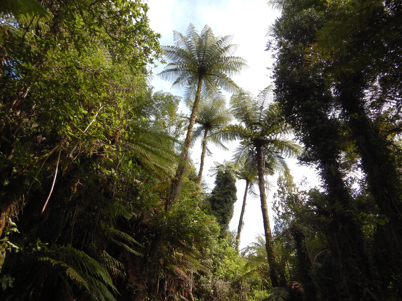
The ferns really were as tall as trees.
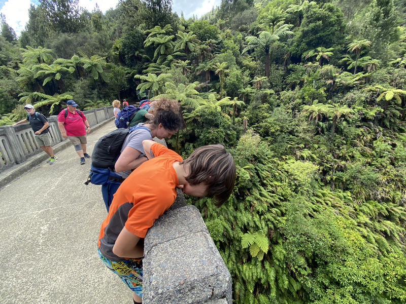
The trail dropped away steeply to the right.
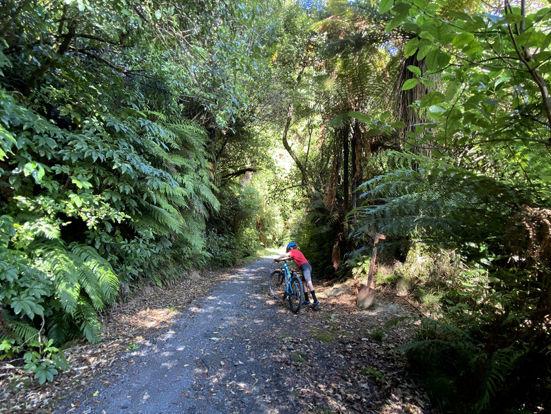
The sign warned cyclists to dismount as the trail narrowed along a cliff.
The trail overlooked the Mangapurua Stream.
first view of the Bridge to Nowhere
There are no roads on either side of the bridge - just tramping/cycling trails.
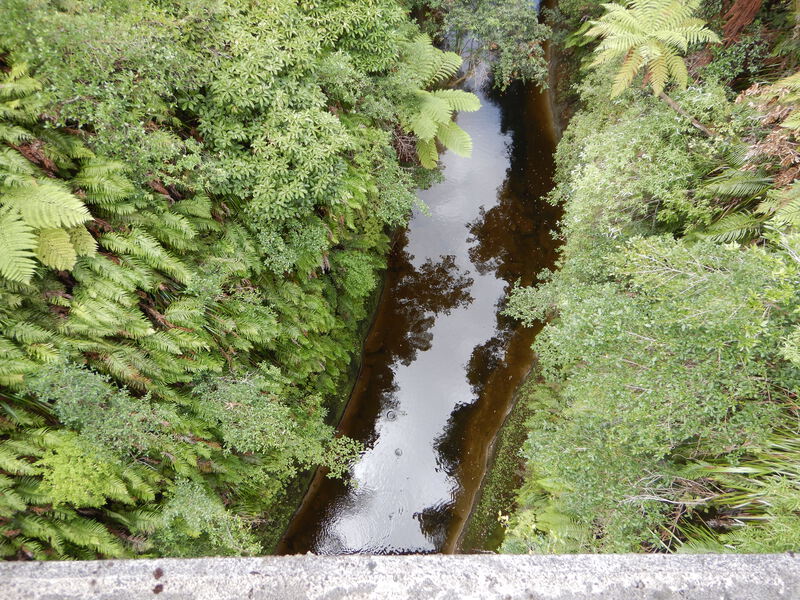
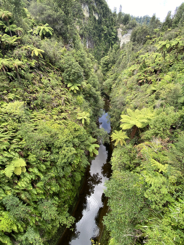
The valley was so steep that we could barely see the stream.
looking 40m down to the stream
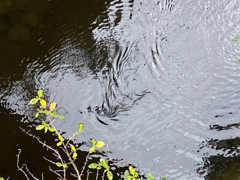
Our guide pointed out giant black eels swimming in the water below the bridge.
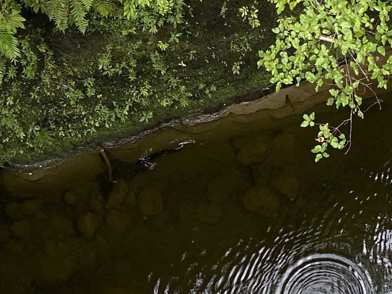
Our guide gave Evan leftover cookies to attract the eels.
watching the eels
Evan was fastest back to the jetboat.
We went upstream a bit into the even narrower canyon of the Manganuioteao River.
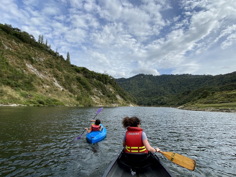
After launching our canoe and kayak, we stopped a few minutes later to play with mud.
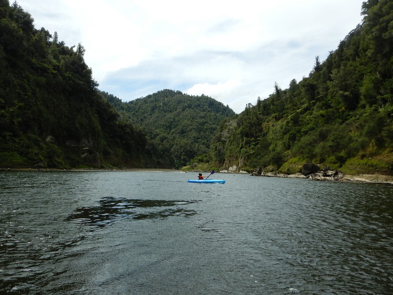
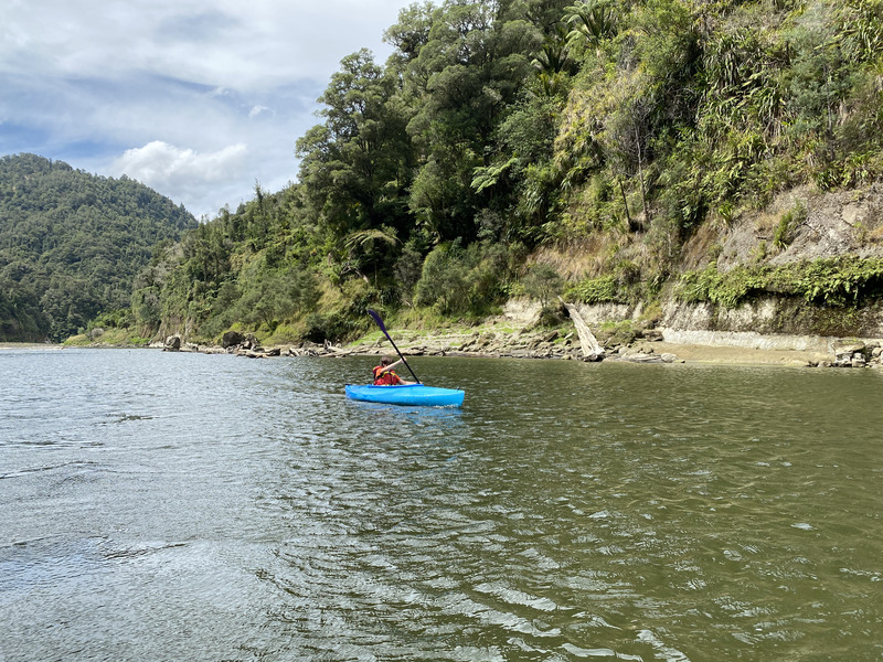
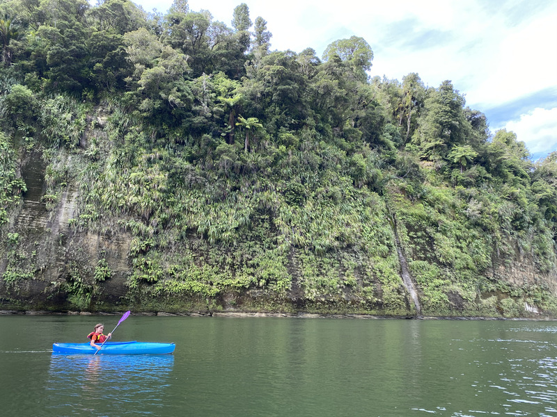
Evan paddled the single kayak.
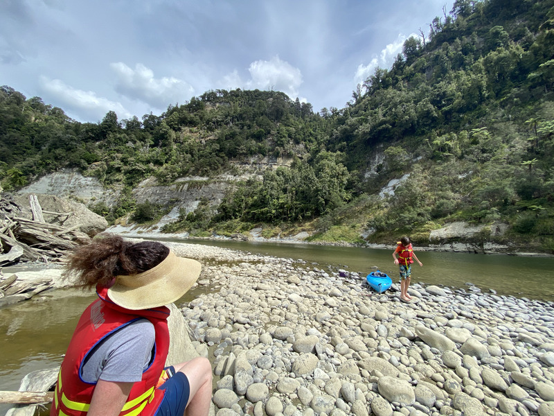
We stopped for a snack on a rocky beach.
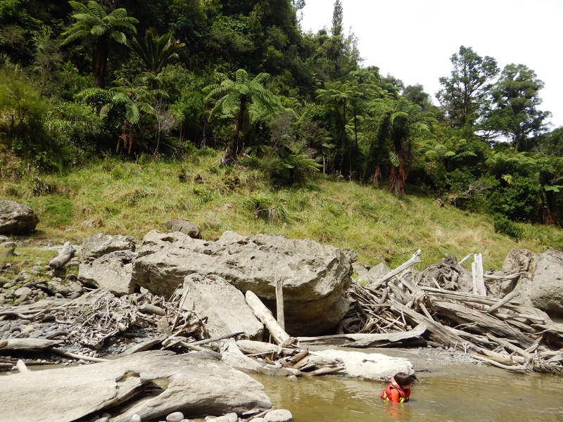
The shallow muddy backwater was warmer than the main river.
starting down a rapid on the Whanganui
Evan starting down the 50/50 rapid.
The valley opened up as we got close to Pipiriki.
We drove south along the Whanganui Road from Pipiriki. This one lane bridge wasn't very long, but bridged a deep canyon.
looking down from the one lane bridge
view of the Whanganui from a turnout along the river road
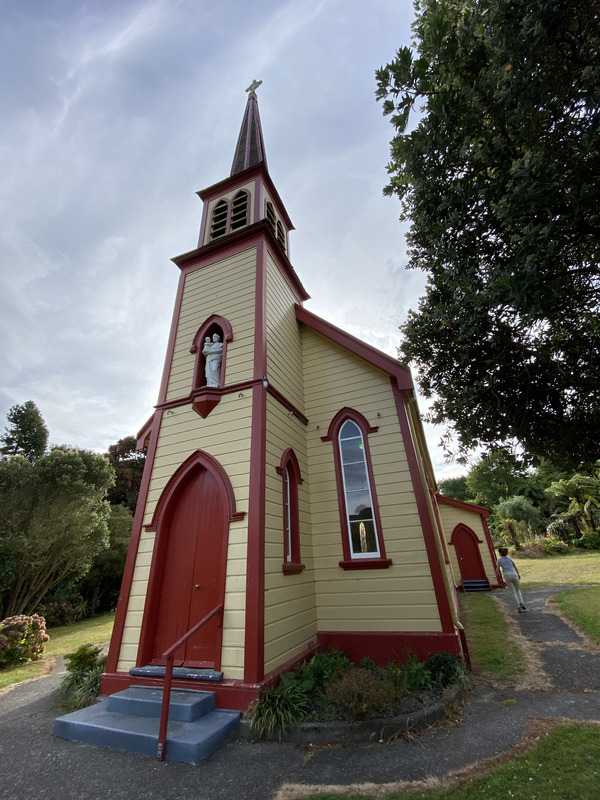
The Hiruharama Catholic church was built in the 1890s.
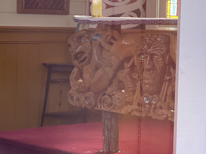
We peeked in the windows at the Maori design altar.
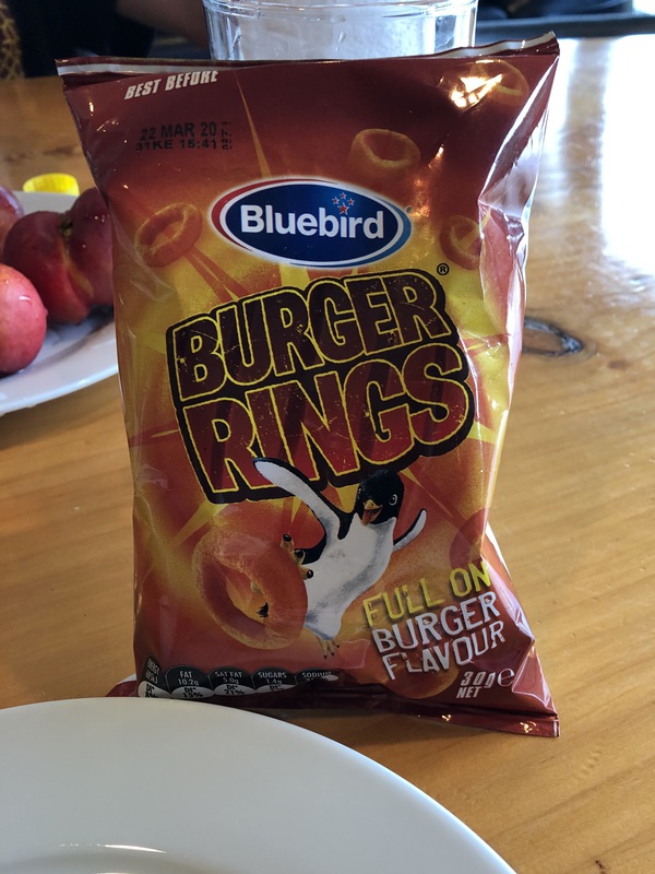
In Raetihi, we got takeaway fish & chips and fried chicken, plus burger-flavored chips.
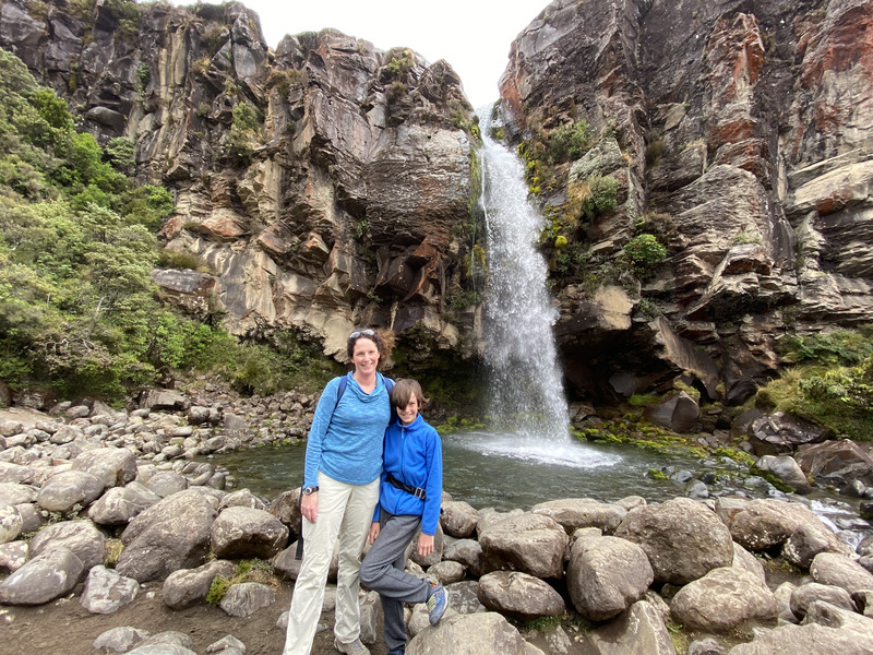
Taranaki Falls
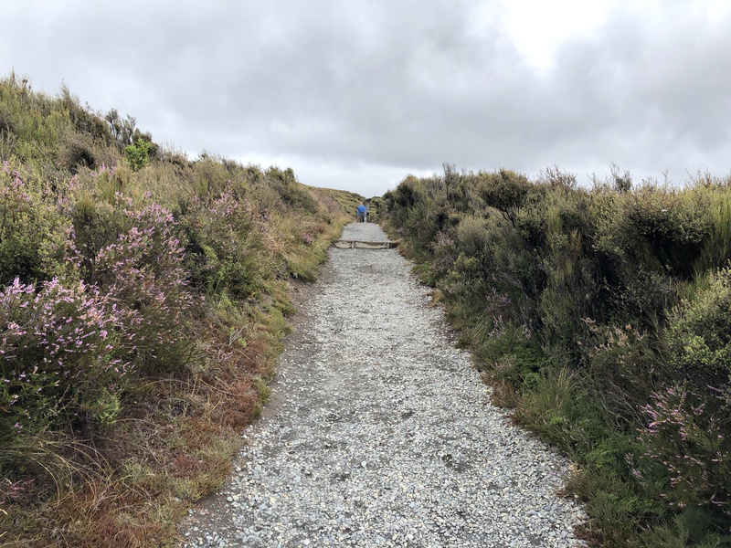
We drove half an hour north onto the volcanic plateau of Tongariro National Park. We walked through alpine scrub to Taranaki Falls, and visited the surprisingly nice Carrot Adventure Park in Ohakune.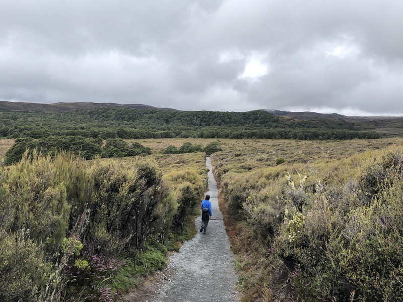
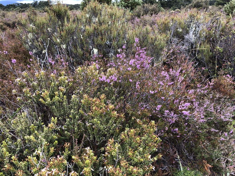
In 1914, a police commissioner planted heather to improve the scenery and provide a habitat for game birds. It's now considered a weed.
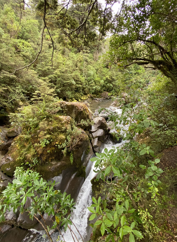
We crossed over a small waterfall on the way to Taranaki Falls.
The plants changed abruptly from alpine to forest.
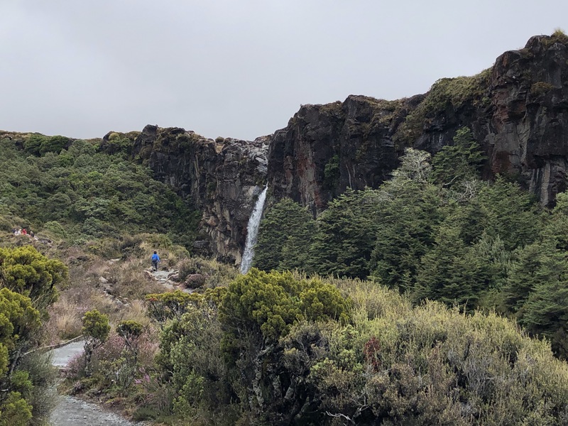
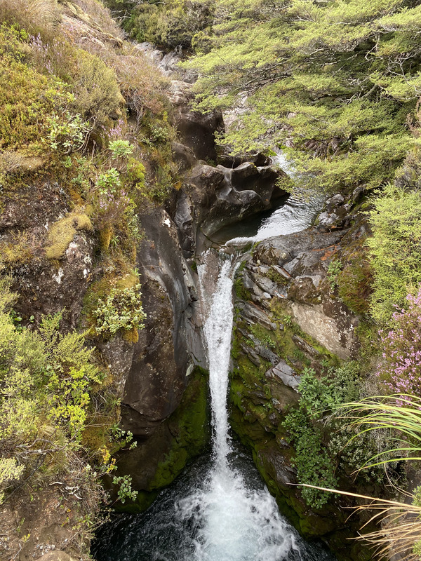
approaching Taranaki Falls
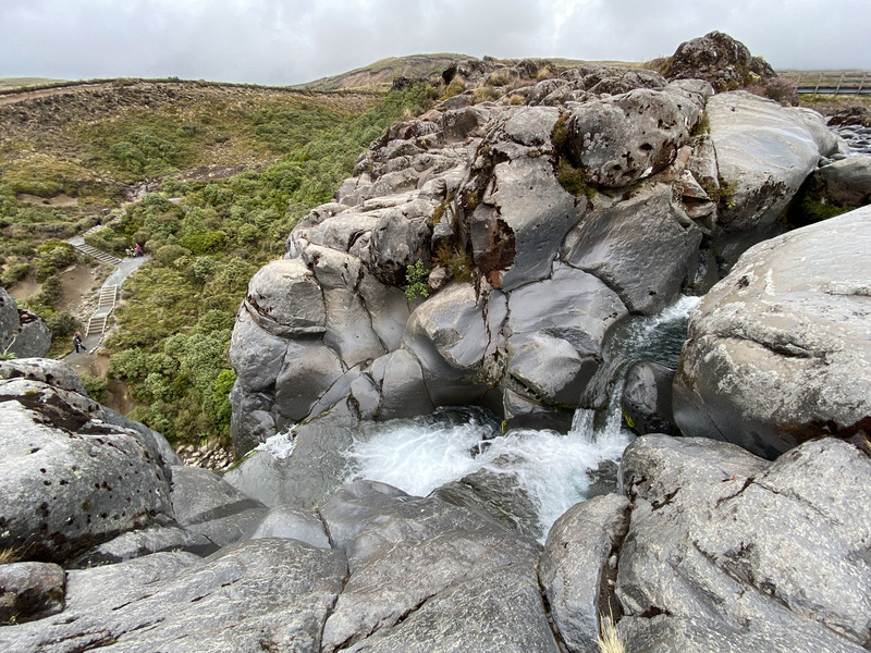
Taranaki Falls is about 20m tall.
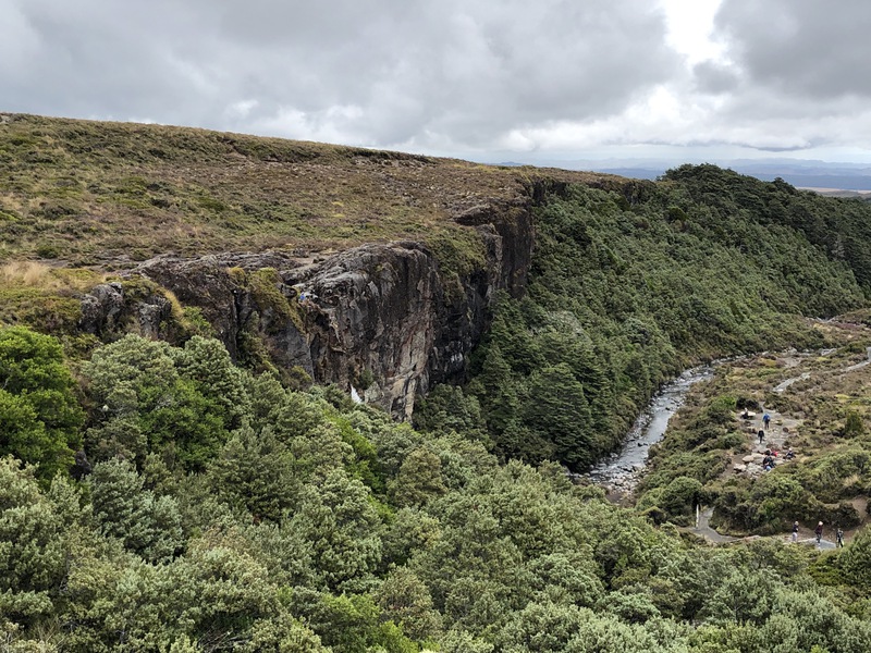
We followed the trail up to the top of the waterfall.
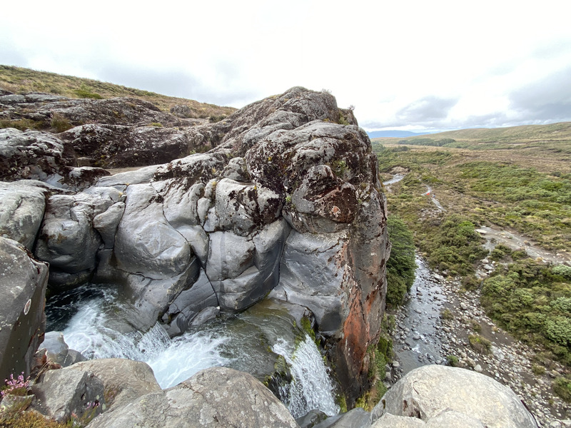
looking at the top of the waterafll
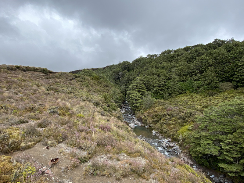
It rained on our way back through the heather on the Taranaki Falls trail.
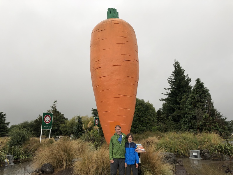
We read about the history of Ohakune near a 7m tall carrot.
In the early 1900s, Chinese settlers weren't allowed to own land. They cleared the bush and grew carrots for 3 years, then the land reverted to the reverted to the owners.
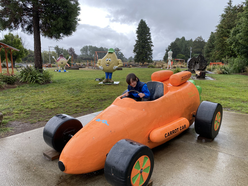
Evan drove the carrot car Ohakune's Carrot Adventure Park.
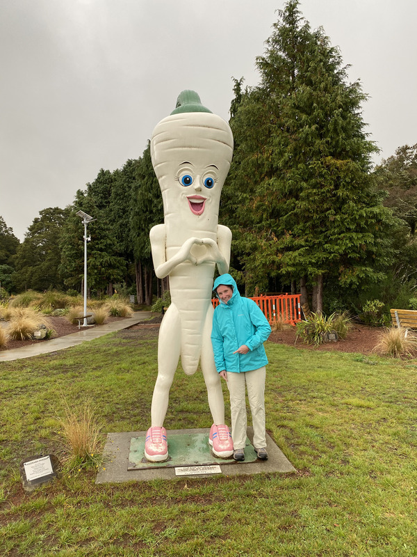
The Carrot Adventure Park had giant versions of other vegetables, including this happy parsnip.
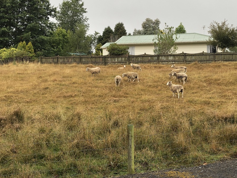
All 9 sheep were near the house when we got back.
Back to Auckland
On the drive back to Auckland, we did a few short walks in Tongariro National Park, and stopped to see kiwi and other native birds at the Otorohanga Kiwi House.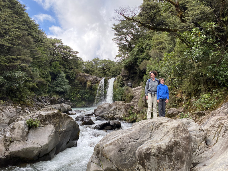
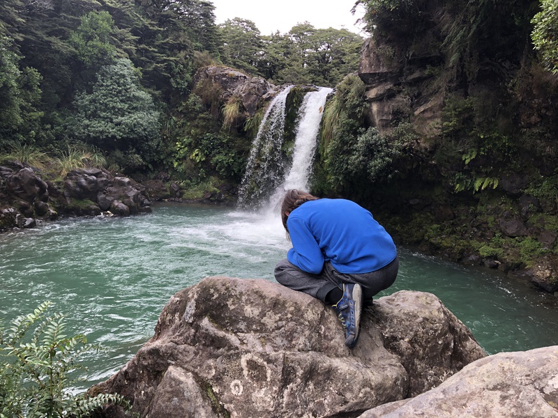
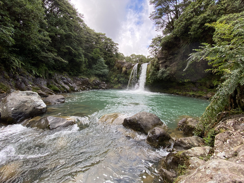
We walked to Tawhai Falls, site of Gollum's Pool.
We walked onto the top of a mound ejected when Mt. Ruapehu erupted 10,000 years ago.
looking toward Mt. Ruhapehu
The tuatara is a living fossil from the age of dinosaurs - the only surviving member of its order.
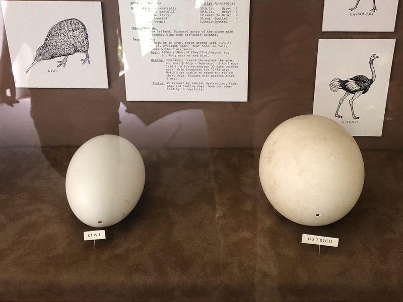
Kiwi eggs are almost as big as ostrich eggs!
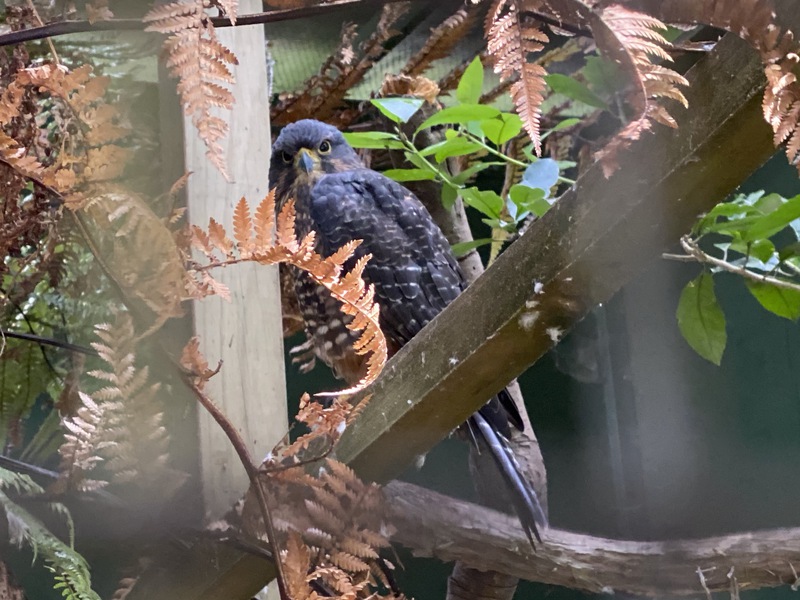
New Zealand falcon
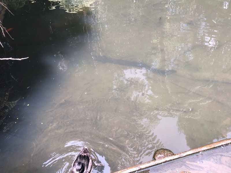
The pond contained giant eels in addition to ducks.
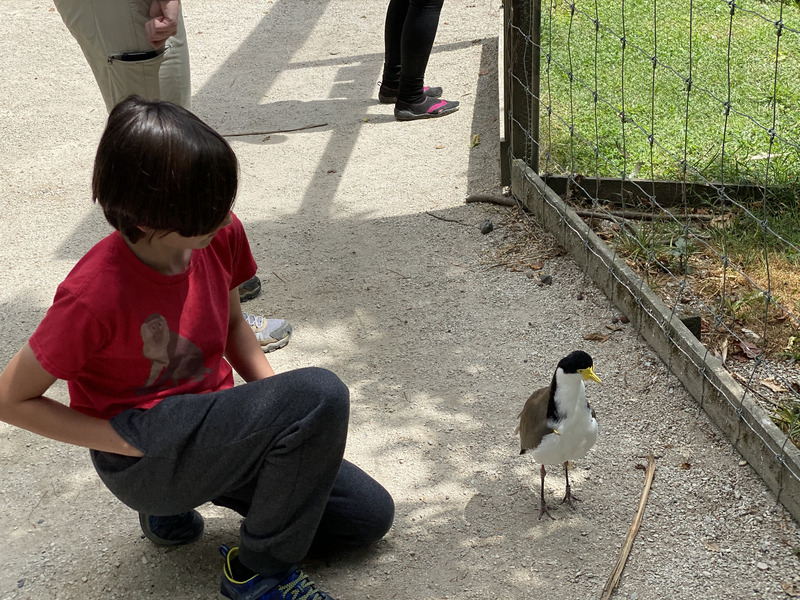
This spur-winged plover walked right up to people.